Pan Borneo Highway Sabah: Route, Cost & Progress
What is the Pan Borneo Highway in Sabah?
The Pan Borneo Highway is a 706 km trunk road across Sabah costing RM24.889 billion. It links the Sarawak border at Sindumin to Tawau, passing Kota Kinabalu, Sandakan and Lahad Datu.
What is the Pan Borneo Highway?
The Pan Borneo Highway (Lebuhraya Pan Borneo) is one of the largest infrastructure undertakings in East Malaysia, designed to create a continuous, modern trunk road spanning the island of Borneo. The Sabah stretch is the portion of that wider network that runs entirely within the state, and it represents a major upgrade over the patchwork of older roads that previously linked Sabah's main towns.
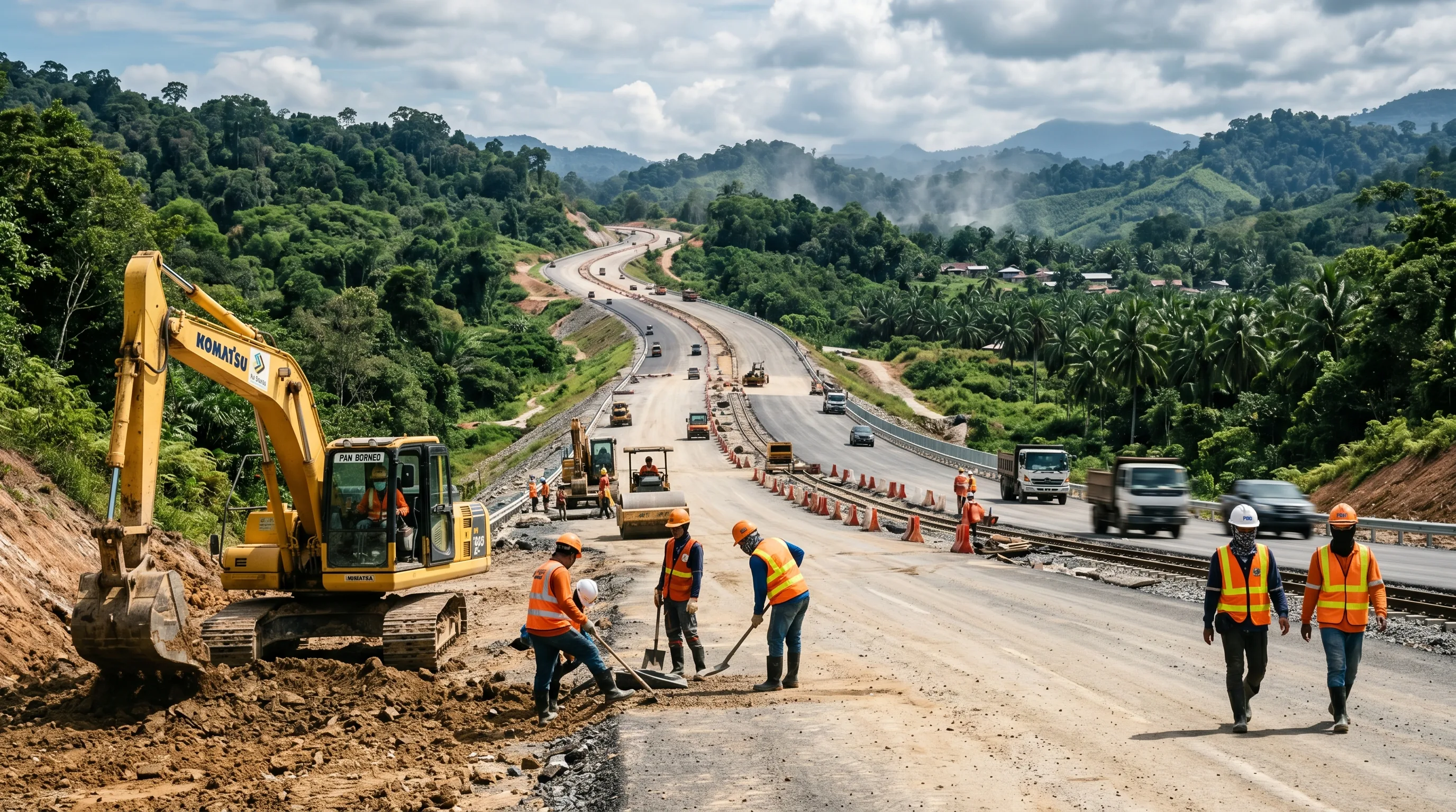
Within Sabah, the project covers 706 km of carriageway at a total cost of RM24.889 billion. Rather than building entirely new alignments everywhere, the programme widens, straightens and upgrades existing corridors while adding new sections where terrain demands. The result is a higher-capacity route built to consistent engineering standards, intended to carry both heavy freight and everyday passenger traffic for decades to come.
For a state where towns are separated by long distances and rugged interior terrain, a reliable cross-state highway is a foundational piece of infrastructure. It connects the west coast administrative centre of Kota Kinabalu with the east coast commercial towns, shortening journeys that have historically taken the better part of a day.
The route across Sabah
The Sabah stretch begins at Sindumin, on the Sabah-Sarawak border, where it ties into the wider Pan Borneo network. From there it travels north and east, threading through the populated west coast before swinging across the interior toward the east coast districts.
Along the way the highway passes through or near several of Sabah's most important towns:
- Kota Kinabalu — the state capital and main west coast hub.
- Sandakan — a major east coast commercial and port town.
- Lahad Datu — a key agricultural and industrial centre on the east coast.
The corridor finally reaches its eastern terminus at Tawau, near the southern end of Sabah's east coast. By linking Sindumin to Tawau in a single upgraded route, the highway stitches together the west coast, the interior and the east coast into one continuous land connection.
The Sabah stretch is designed to function as a seamless extension of the Sarawak section. Drivers crossing at Sindumin continue onto the same upgraded highway standard, making overland travel across Borneo far more practical than before.
How the project is phased
Because of the scale of the works, Phase 1 is delivered in two sub-phases across 35 work packages. Splitting the programme this way lets construction begin on priority sections while later, more complex stretches are designed and procured. Packages open individually as they finish, rather than the whole corridor opening at once.
| Phase | Length | Packages | Cost | Target completion |
|---|---|---|---|---|
| Phase 1A | 318 km | 16 | RM10.9 billion | Mid-2028 |
| Phase 1B | 388 km | 19 | RM13.989 billion | Q4 2030 (with 1A) |
Together the two sub-phases make up the full RM24.889 billion investment. Phase 1A carries the west coast trunk from Sindumin up to the Kota Kinabalu area, plus three detached packages on the east coast. Phase 1B covers four separate corridors — Kota Belud to Kudat, Telupid to Ranau, Lahad Datu to Sandakan, and Tawau to Lahad Datu.
Two further phases exist beyond Phase 1, both still at planning stage with no funding and no timeline: Phase 2 covering the Tamparuli–Ranau alignment of around 98 km, and Phase 3 running Kimanis–Keningau–Kalabakan–Tawau over around 432 km. Both were set out by Deputy Chief Minister Shahelmey Yahya in the State Assembly in November 2024, with implementation dependent on government approval and financial capacity.
Construction progress
Progress varies sharply between the two phases, reflecting their different start dates and scope.
As at 26 February 2026, the figures given to the Dewan Rakyat were:
- Phase 1A — 86.6% complete against a scheduled 97.55%, roughly 11 percentage points behind. It reached 87.86% by July 2026 and now targets mid-2028.
- Phase 1B — 13.56% against a scheduled 19.6%, around 6 points behind. No newer figure has been published. Both phases together now target the fourth quarter of 2030.
Four packages have already opened to traffic: Donggongon–Papar in August 2022, Mile 32 to Kampung Lot M in Sandakan in November 2022, Tawau to the Semporna junction in August 2023, and the Lahad Datu Bypass in October 2023. Nine more were scheduled to open during 2026, including the Putatan–Menggatal section that opened in July 2026 and routes traffic around Kota Kinabalu city centre.
A completion figure on its own can mislead. Phase 1A being 86.6% done sounds close to finished, but it was supposed to be 97.55% done by that date — which is why the target moved from October 2026 to the first quarter of 2027, and then again to mid-2028. Progress figures on this project change at almost every parliamentary sitting, and officials have occasionally quoted numbers that conflict. Always check the date attached to a figure. Last verified 20 August 2026.
Engineering and logistical challenges
Building a continuous high-standard highway across Sabah involves significant technical and logistical hurdles, particularly in the interior where the terrain is most demanding.
Key challenges include:
- Utility relocation — power lines belonging to SESB, water pipes and telecoms infrastructure often sit within or near the road reserve and must be carefully relocated before earthworks can proceed.
- Worker and equipment shortages — in the period after COVID, securing enough skilled labour and machinery on site slowed the pace of several work fronts.
- Soft soil and terrain — stretches through interior Sabah cross soft ground and hilly, uneven terrain, which complicates foundations, drainage and embankment stability.
Each of these factors adds time and engineering effort. Utility relocation in particular must be sequenced carefully so that nearby communities are not left without services while road construction advances.
Economic impact for Sabah
The highway's value lies not just in smoother roads but in the economic activity that better connectivity unlocks. The expected benefits, as described in government statements, are:
- Logistics and trade — interior districts that were previously hard to reach become more viable for moving goods, opening them up to wider markets.
- Lower transport costs — faster, more reliable freight movement reduces the time and fuel burned shifting produce and goods across the state.
- Employment — the programme supports jobs directly in construction and indirectly across supporting industries such as materials, machinery and services.
- Land compensation — about RM1.2 billion of a budgeted RM2.53 billion has been paid to landowners along the Phase 1 corridor, money that flows into local hands.
Specific figures for these are widely quoted but hard to stand up. Unlike Sarawak — where the government has published a Miri to Kuching saving — no official Kota Kinabalu to Tawau travel-time figure has been released for Sabah, and no official jobs total has been published either. Where you see precise numbers for either, treat them with caution.
By tying the west coast, interior and east coast into a single dependable road network, the Pan Borneo Highway is positioned as a long-term enabler of trade, agriculture and regional development across Sabah.