Pan Borneo Highway 2026 — Progress & Phase Status

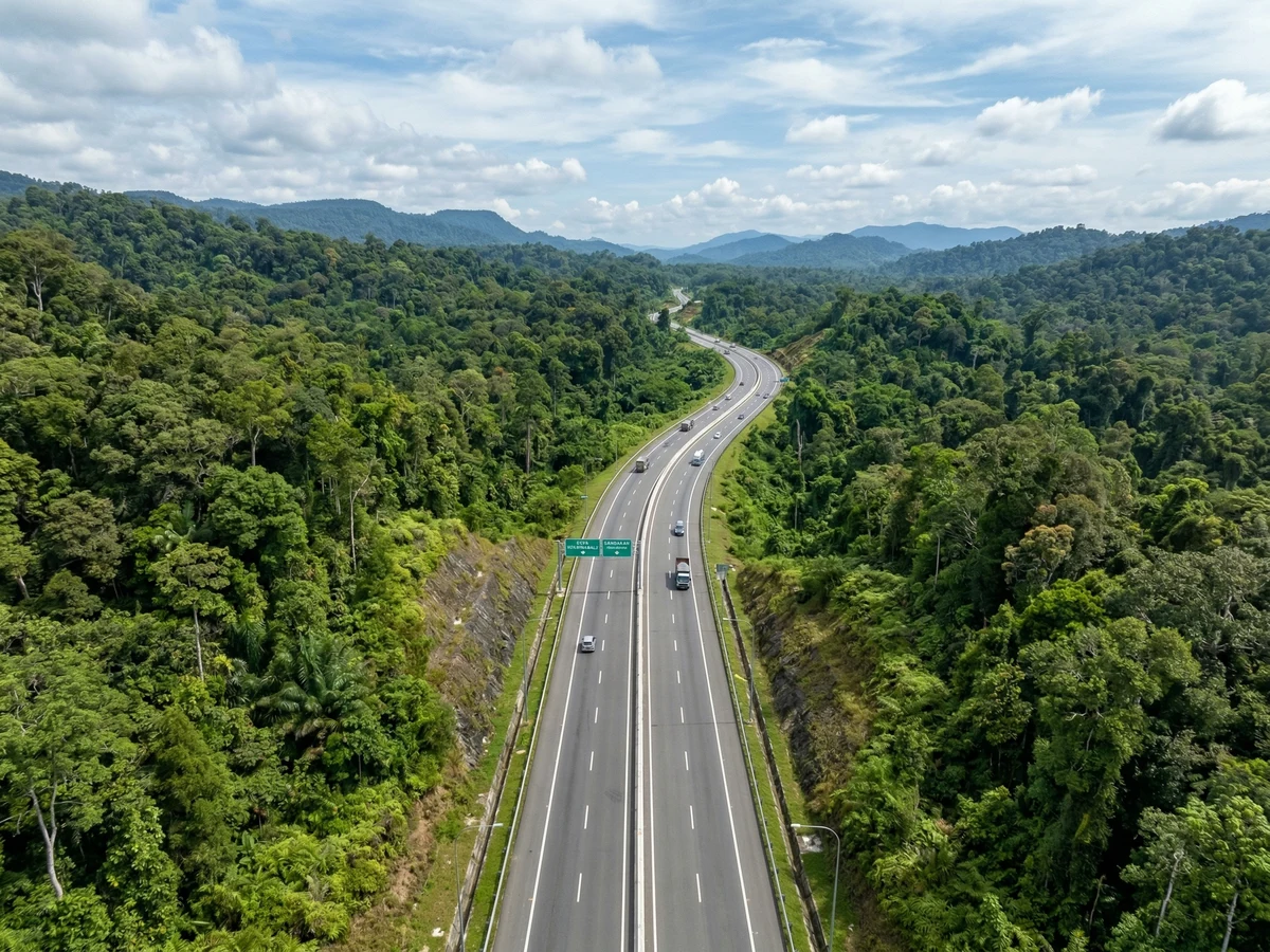
The Pan Borneo Highway is a 706 km mega-project linking Kota Kinabalu to Tawau via the east coast. Phase 1A (KK-Kimanis, 206 km) is 86.5% complete, targeting October 2026 completion. Phase 1B (Kimanis-Papar) targets 2029. Total Sabah section estimated at RM16+ billion. When complete, KK-Tawau travel will drop from 10+ hours to 7 hours. Expected to create 2,000–3,000 direct construction jobs and RM2–3B economic impact over 10 years.
Phase 1A is the most advanced, targeting October 2026 completion. Phase 1B follows with 2029 target. Phase 2 (east coast) remains in planning stages.
Source: JKR Malaysia
Project Overview
The Pan Borneo Highway is Malaysia\u2019s largest infrastructure project in Sabah and Sarawak. The 706 km Sabah section is being built in phases to connect Kota Kinabalu (west coast) to Tawau (southeast coast) via Sandakan, creating the first modern expressway across Borneo\u2019s interior. The project is expected to transform regional connectivity, reduce logistics costs, and unlock economic development in previously remote areas.
The highway follows a north-to-south corridor: Kota Kinabalu → Kimanis → Papar → Beaufort → interior regions → Sandakan → Semporna → Tawau. When complete, it will replace winding mountain roads with modern expressway standards, reducing travel time and improving safety significantly.
Phase 1A: KK to Kimanis (206 km)
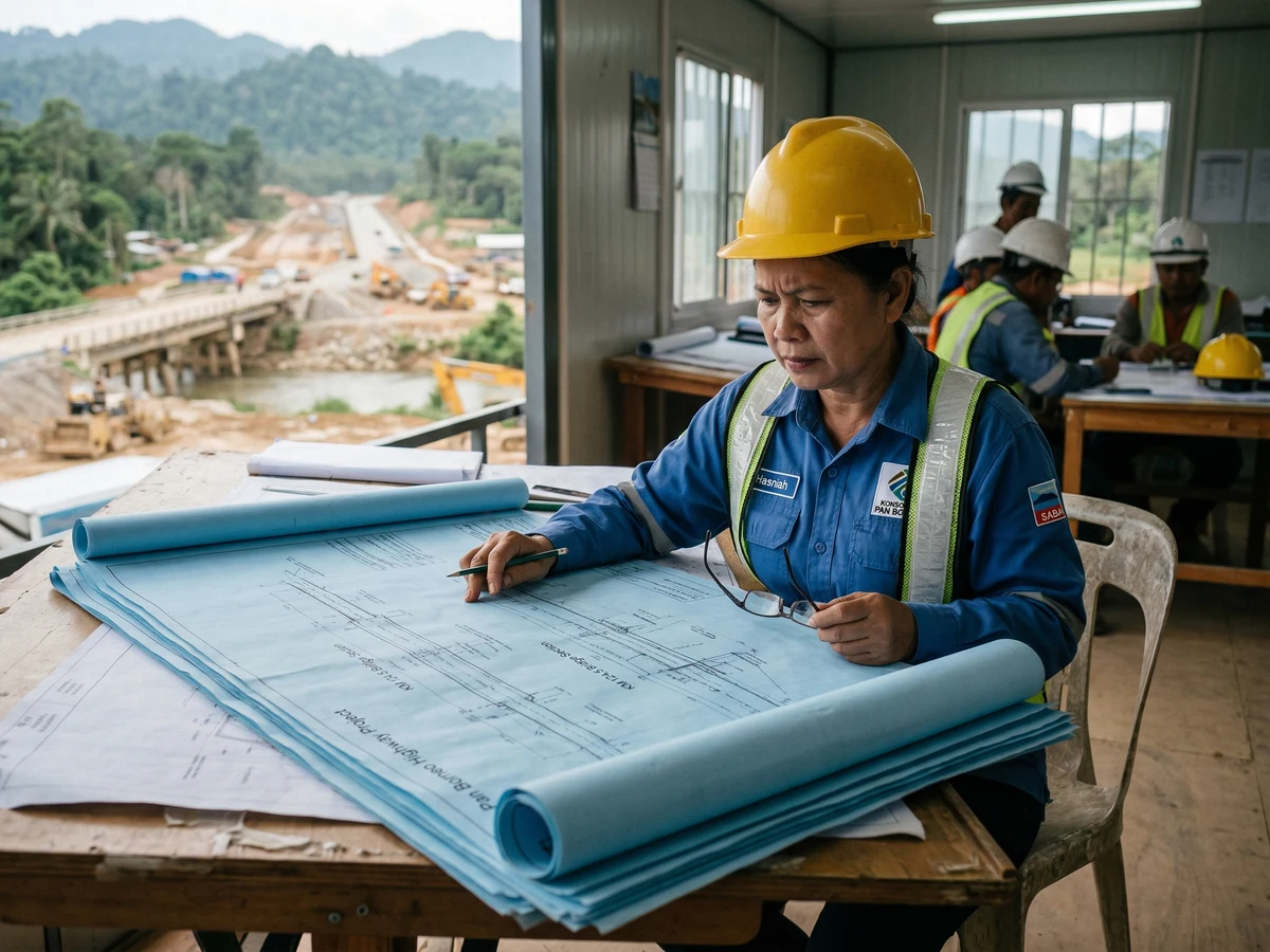
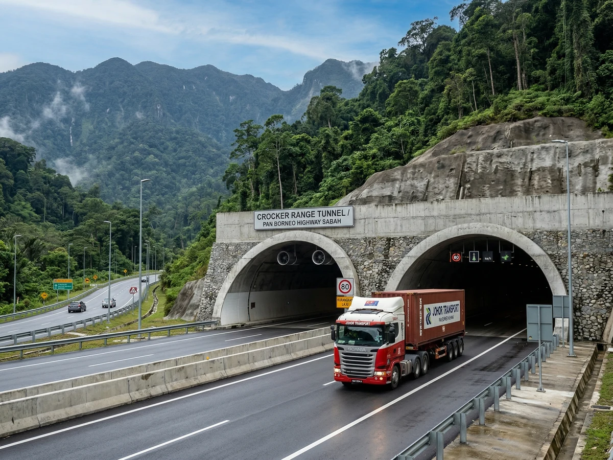
Phase 1A is the most advanced section and flagship of the project. At 86.5% completion as of April 2026, the KK-Kimanis expressway is targeted to open to traffic in October 2026. This 206 km section is the primary link from the capital city to the south. Construction began in 2018 and has been delayed due to terrain challenges (mountain tunnels), environmental assessments, and contractor issues.
The section includes multiple tunnels, viaducts, and interchange junctions. Design specifications: four-lane expressway (2 lanes each direction), 120 km/h design speed, toll-based funding model. Estimated cost: RM4–5 billion.
Phase 1A progress accelerated post-2021 as supply chain constraints eased. October 2026 target is achievable if current pace holds.
Source: JKR Malaysia
Phase 1B: Kimanis to Papar (204 km)
Phase 1B extends from Kimanis to Papar, covering the interior section through Beaufort and Kunak. At only 12.3% completion, this phase is in early construction stages with a target completion of 2029. The section is more challenging due to mountainous terrain and lower population density, requiring longer tunnels and more complex engineering solutions.
Phase 1B cost estimate: RM5–6 billion. This phase will open the interior for agricultural and timber development, particularly benefiting palm oil and cocoa-producing regions.
Phase 2: East Coast (Papar to Tawau, ~296 km)
Phase 2 is split into three sub-phases covering the east coast: Phase 2A (Papar-Semporna), Phase 2B (Semporna-Sandakan), and Phase 2C (Sandakan-Tawau interior). These phases are in planning and early design stages, with completion estimated 2030+. Phase 2 will link Sandakan and Tawau to the rest of the network, enabling seamless travel across Sabah\u2019s coastlines.
Phase 2 challenges: remote terrain, environmental sensitivity (rainforest, wildlife corridors), and lower traffic volume (lower economic return on investment). Funding and construction sequencing remain under negotiation with federal and state governments.
Economic & Social Impact
Travel Time Reduction: KK-Tawau journey time will drop from 10–12 hours (mountain roads) to 7 hours (expressway), making regional day-trips viable. Kota Kinabalu-Sandakan will reduce from 6–7 hours to 3–4 hours.
Logistics Cost Savings: Trucking costs are expected to fall 15–20%, benefiting agricultural exports (palm oil, cocoa, timber) and reducing consumer goods prices statewide. Each 1% reduction in logistics costs adds RM100–150 million to Sabah\u2019s GDP annually.
Tourism Accessibility: Shorter travel times will enable multi-destination itineraries (KK → Sandakan → Tawau in 1 trip), increasing visitor length-of-stay and per-capita spending by 10–15%.
Interior Development: The highway will open vast interior regions (Beaufort, Kunak, Nabawan areas) for agricultural leasing, smallholder farming expansion, and resource extraction (timber, minerals), creating estimated 5,000–8,000 indirect jobs.
Employment: Direct construction jobs during 2024–2030: 2,000–3,000. Indirect supply-chain jobs: 5,000–8,000 (cement production, steel fabrication, heavy equipment services). Long-term operational jobs: 1,500–2,000 (toll collection, maintenance, emergency services).
Logistics cost savings and construction jobs dominate near-term impact. Tourism and interior development drive long-term value.
Source: Sabah Economic Impact Study
Funding & Timeline
Phase 1A (Oct 2026): RM4–5 billion funded. Project 86.5% complete. Toll-based concession model (PLUS Malaysia concessionaire). Expected toll revenue: RM80–120 million annually once operational.
Phase 1B (2029): RM5–6 billion budget. Currently 12.3% complete. Funding partially allocated; state and federal budget prioritization ongoing. Recent federal support announcement suggests funding is available.
Phase 2 (2030+): RM6–8 billion estimated. Design phase ongoing. Funding not yet committed. Completion depends on federal budget allocation and economic justification (lower traffic volume on east coast sections).
Total Project Cost: RM16–19 billion (all phases combined). Funded through federal highway allocation (60–70%), Sabah state contribution (10–15%), and private toll concessions (15–25%).
Frequently asked questions
Q When will the Pan Borneo Highway be fully completed?
Q What is the total cost of the Pan Borneo Highway?
Q How will the Pan Borneo Highway impact the economy?
Q Can I drive the Pan Borneo Highway now (2026)?
Q Will tolls apply on the Pan Borneo Highway?
Q What are the Phase 2 details?
Q How many jobs will the Pan Borneo Highway create?
Sources & References 6 sources
Last verified: 11 April 2026