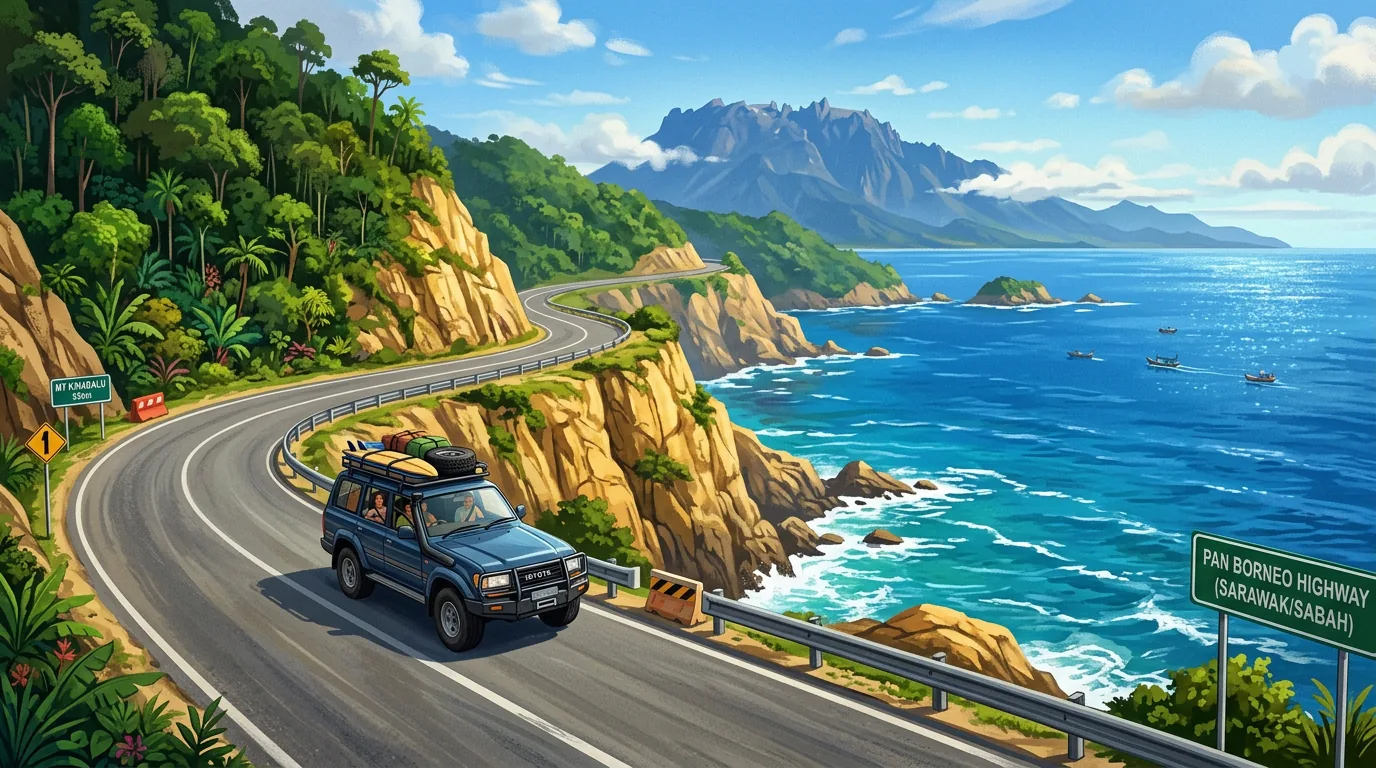
Best Road Trips in Sabah — Routes & Scenic Drives
Driving is the best way to see Sabah beyond KK. The roads are generally good on major routes, scenery is stunning, and you can stop wherever you like. Here are the main routes with honest drive times and conditions.
Malaysia drives on the left side of the road. Speed limits: 90–110 km/h on highways, 60 km/h in towns. Download offline Google Maps for Sabah before you go — mobile signal is patchy in rural areas.
KK to Tip of Borneo (Kudat)
| Detail | Info |
|---|---|
| Distance | 175–213 km |
| Drive time | ~2h 45m via highway |
| Route | KK → Tuaran → Kota Belud → Kudat |
| Road condition | Good sealed road, some winding near Kudat |
Recommended stops: Tuaran town for Tuaran Mee noodles, Kota Belud for the Sunday Tamu market, and the Tip of Borneo monument at the northernmost point. The beaches around Kudat are some of Sabah's best mainland beaches.
KK to Sandakan
| Detail | Info |
|---|---|
| Distance | About 335 km (LPKP fare distance) via Kinabalu route |
| Drive time | 6–7.5 hours direct |
| Route | KK → Kundasang → Ranau → Telupid → Sandakan |
| Road condition | Good KK–Kundasang, narrower Ranau–Sandakan |
Recommend splitting into 2 days. Stay overnight in Kundasang for cool highland air and Mt Kinabalu views. The Ranau to Sandakan stretch passes through rural Sabah with limited services — fill up on fuel before leaving Ranau.
If driving isn't your thing, you can fly from KK to Sandakan. Check current carriers and schedules with the airlines.
KK to Kinabalu Park
| Detail | Info |
|---|---|
| Distance | ~90 km |
| Drive time | ~2 hours |
| Route | KK → Penampang → Kinabalu Park HQ |
| Road condition | Well-maintained highway, gradual elevation |
Straightforward drive on good roads. Temperature drops noticeably as you gain elevation — bring a jacket. Nabalu market on the roadside is worth a quick stop for local produce and handicrafts.
KK to Tenom (Interior)
| Detail | Info |
|---|---|
| Distance | ~145 km |
| Drive time | ~3.5 hours |
| Route | KK → Penampang → Tambunan → Keningau → Tenom |
| Road condition | Good but winding through Crocker Range |
Recommended stops: The Crocker Range crossing is the most scenic mountain pass in Sabah. Stop at Tambunan Rafflesia Centre (if lucky, see a blooming rafflesia), then continue to Tenom for coffee farm visits.
KK to Semporna
| Detail | Info |
|---|---|
| Distance | 565 km by the express-bus route (LPKP Sabah, checked 7 October 2026) |
| Drive time | A full day; allow 8 hours or more with stops |
| Road condition | Mixed — good highways plus rougher rural stretches |
This is a full-day drive. Better to break it into 2–3 days with stops, or fly to Tawau (50 min) and drive 1 hour to Semporna.
Car Rental
| Item | Cost / Info |
|---|---|
| Sedan (per day) | RM100–150 |
| SUV / 4WD (per day) | RM180–250 |
| Deposit (debit card) | ~RM600 |
| IDP required | Yes, for most foreign licenses (~USD20) |
| ASEAN licenses | Accepted without IDP |
| Min age | Usually 23–65 |
| Providers | Hertz, Avis, local operators at KK airport |
For interior routes (Tenom, Danum Valley) or anything off the main highways, a 4WD is strongly recommended. Sedan is fine for KK–Kudat and KK–Kinabalu Park.
Fuel and Navigation
| Item | Detail |
|---|---|
| RON95 (subsidised) | RM1.99/litre |
| RON97 | ~RM3.35/litre |
| Diesel | RM2.15/litre |
| Stations | Petronas, Shell, Petron — all major towns |
| Navigation | Google Maps (download offline), Waze for urban KK |
Important: Fill up before rural or interior routes. Fuel stations are sparse outside main towns, especially on the Ranau–Sandakan and Keningau–Tenom stretches.
Road Rules and Safety
- Drive on the left — right-hand drive vehicles
- Speed limits: 90–110 km/h highways, 60 km/h towns
- Seatbelts: Wear one in every seat, front and rear
- Emergency: dial 999 for police, ambulance or fire and rescue (MyGOV, MERS 999, checked 7 October 2026)
- Watch for: Motorcycles, logging trucks on rural roads, animals crossing, sudden heavy rain
- Night driving: Avoid on rural and mountain roads (poor lighting, wildlife)
- Tolls: Almost none — Sabah has very few toll roads
- Wettest months (Oct–Nov on the west coast, Dec–Jan on the east): Potential landslides on mountain roads, flooding on low-lying areas
Frequently asked questions
Q Do I need a 4WD for driving in Sabah?
Q Are there petrol stations on the highways?
Q What are road conditions like in Sabah?
Q Do I need an International Driving Permit (IDP)?
Q What is the minimum age for car rental in Sabah?
Q Can I drive to Sipadan?
Q Is night driving safe in Sabah?
Sources & References 6 sources
Last verified: March 2026